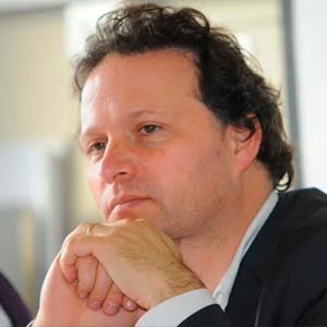
Dr. Stefan Steiniger
- Investigador CEDEUS y Asociado de la Fundación Walk21.
- Ingeniero de la Universidad de Dresden y Doctor en Geografía de la Universidad de Zurich.
Áreas de investigación:
Experto en sistemas de información geográfica (SIG), desarrollo de software y modelos de análisis espacial en contexto urbano y natural y estudios en caminabilidad y sustentabilidad.
Últimas Publicaciones
- S. Steiniger, M.E. Poorazizi, C. Fuentes, C. Rojas and A.J.S. Hunter (2017): WalkYourPlace-Building a Web-based Platform for Urban Accessibility Analysis (breakout presentation). Journal of Transport & Health7(Supplement):S59-S60.
- Sagaris, L, I. Tiznado-Aitken and S. Steiniger (2017): Exploring the social and spatial potential of an intermodal approach to transport planning. International Journal of Sustainable Transportation 11(10):721-736.
- Aviles, D., J.R. Barton, R. D’Alencon, R. Moris, J.C. Ruiz, R. Salas, and S. Steiniger (2016): Indicadores de sustentabilidad urbana a escala local en Chile. Revista EÍDOS 9:28-38.
- Steiniger, S., M.E. Poorazizi and A.J.S. Hunter (2016): Planning with Citizens: Implementation of an e-Planning Platform and Analysis of Research Needs. Urban Planning 1(2): 49-64.
- Poorazizi, M.E., A.J.S. Hunter and S. Steiniger (2015): A Volunteered Geographic Information Framework to Enable Bottom-Up Disaster Management Platforms. ISPRS International Journal of Geo-Information 4(3): 1389-1422.
- Alvarado, N., F. de la Barrera and S. Steiniger (2015): Evaluación ecológica rápida de las plazas del norte de chile: una técnica de teledetección para identificar arbolado urbano. Chloris Chilensis 18(2) – online.
- Poorazizi, M.E., S. Steiniger and A.J.S. Hunter (2015): A Service Oriented Architecture to enable Participatory Planning: an e-planning platform. Int. J. of Geographical Information Science 29(7): 1081-1110.
- Steiniger, S. and A.J.S. Hunter (2013): The 2012 free and open source GIS software map – A guide to facilitate research, development and adoption. Computers, Environment and Urban Systems 39:136-150.
- Steiniger, S., and A.J.S. Hunter (2013): A scaled line-based kernel density estimator for the retrieval of utilization distributions from GPS movement tracks. Ecological Informatics 13:1-8.
- Steiniger, S., and A.J.S. Hunter (2012): OpenJUMP HoRAE – A free GIS and toolbox for home range analysis. The Wildlife Society Bulletin 36(3):600-608.
- Hunter, A.J.S, S. Steiniger, B.A. Sandalack, S.H.L. Liang, L. Kattan, A.S. Shalaby, F.A. Uribe, C.A.M. Bliss-Taylor and R. Martinson (2012): PlanYourPlace.ca: Developing a web based geospatial infrastructure for sustainable community planning. Revue Internationale de Geomatique 22(2): 223-253.
Investigadores y técnicos
Felipe Jorquera
Técnico de Apoyo
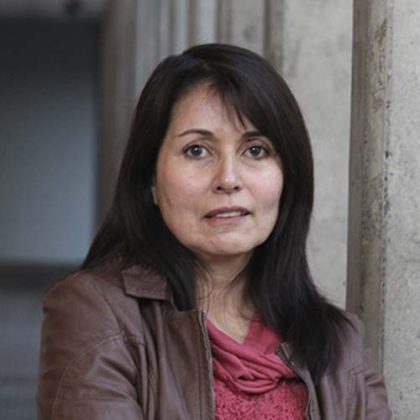
Carolina Rojas Quezada
Investigadora
Carolina Martínez Reyes
Investigadora
Paula Villagra Islas
Investigadora
Octavio Rojas Vilches
Investigador
Tesistas
Tesistas Aaron Jiménez: Los efectos de la urbanización en el Humedal Costero Boca Maule: Un Ecotono fragmentado. Magíster
Grace Mallea
Técnico de apoyo
Juan Munizaga
Técnico de apoyo
